This past weekend Ol Spike set up a one of a kind route along with some camping to celebrate camaraderie and riding bikes for the 1st Annual Spikefest. Spike and his crew were throwing down 85 miles adding an additional 35 miles I didn't think my legs were ready for. So I met up with Lubes and PBR at 4:30am for approx 53 miles from Kenosha Pass to Breckenridge to Como
We got a car dropped in Como and were on the Colorado Trail by 6:20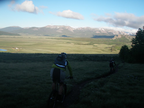
PBR being chased by the morning sun
Me on the Colorado Trail, photo by PBR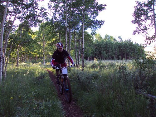
Lubes full of smiles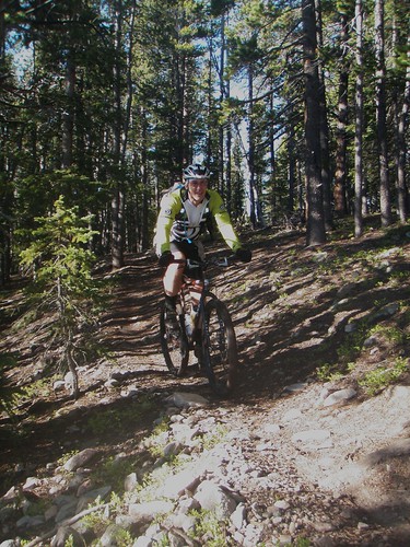
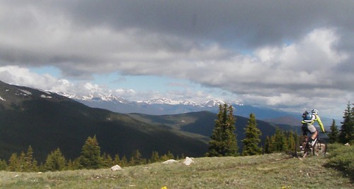
PBR taking a serious approach to the views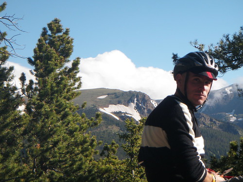
Still a few small snow drifts on the east side of Georgia Pass at treeline
Me, photo by PBR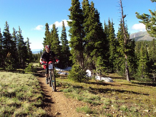
Lubes cranking up to Georgia Pass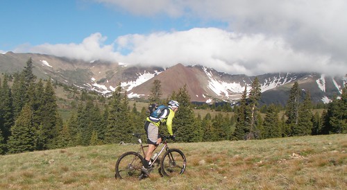
PBR almost to Georgia Pass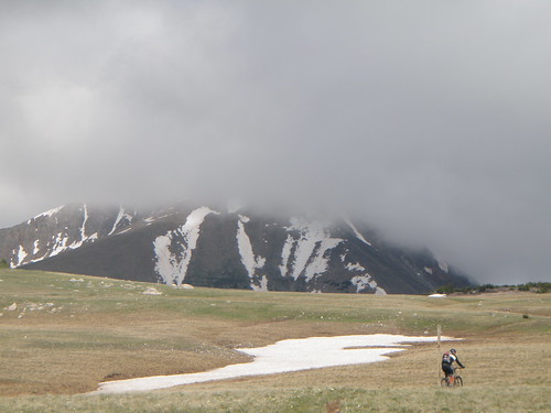
On over to the Breck side of Georgia Pass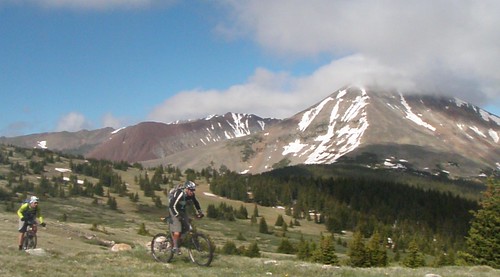
Where probably two dozen snow drifts awaited our tracks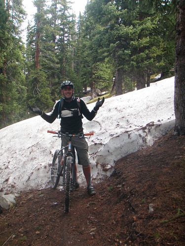
Watch your step, photo by PBR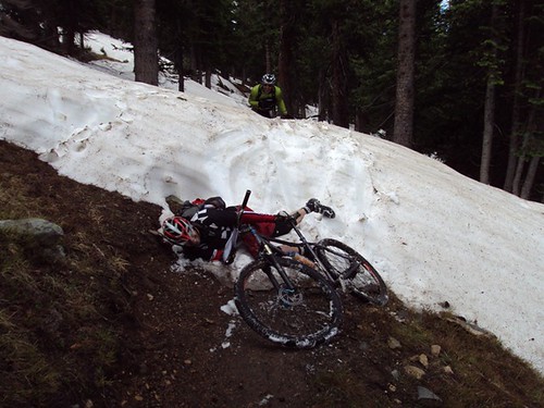
A good ol death march isn't quite right without a little drinkin involved
A few marshes were to be hiked
and lots of route finding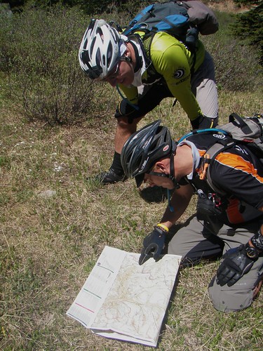
Sometimes we even hung our bikes out to dry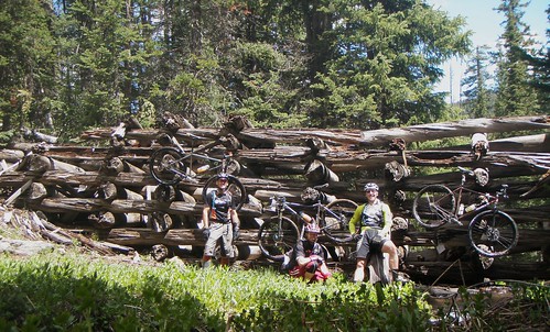
and rode tons of old flume like this
and this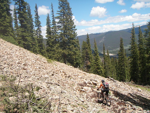
Might be getting familiar now for those of you who have been training on the Fire Cracker Course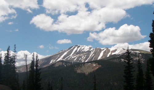
We started running into all sorts of folks at this point including Kerkove, Sonya, DJ Birtch, Rebecca Toma wiki wiki, and several others who I didn't recognize.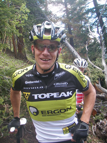
PBR at Little French Gulch
Sally Barber Mine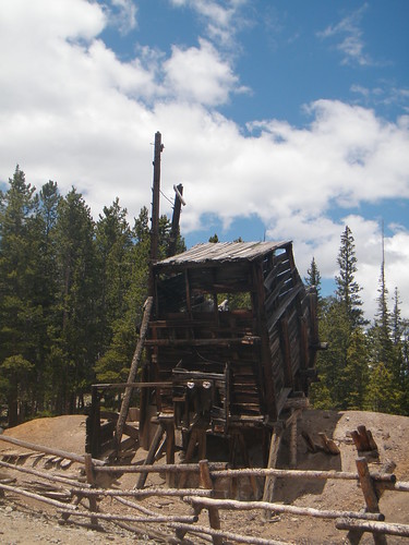
Shot of Sally Barber Mine by PBR
going down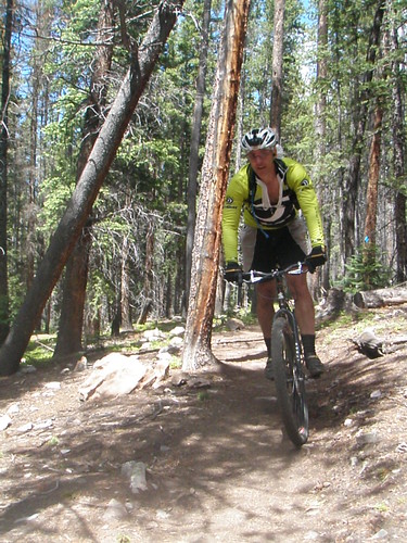
down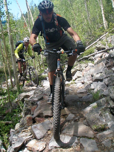
down into Breckenridge for some refreshments from the local convenient mart
Then a climb back up Boreas Pass, course we took all the singletrack options to go up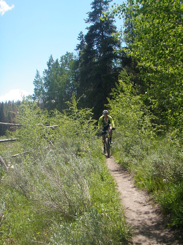
Baker's Tank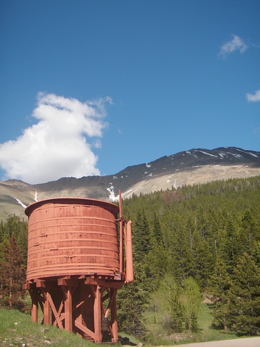
A rest stop at the top of the pass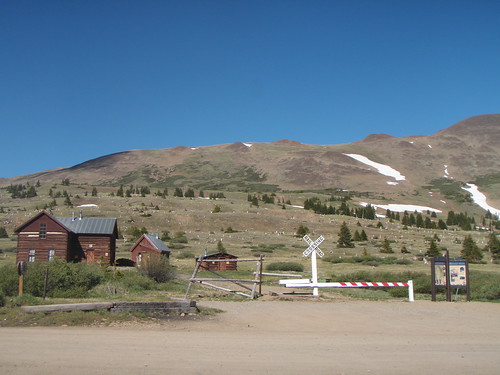
We finished the day on an awesome singletrack descent off the pass.
GPS died on the last miles of the ride..show 7,800 ft of climbing with 97% of the route being over 10,000 ft and our high point for the day being 11,870. PBR's cpu shows around 55.5 miles. Sweet!
I plan on coming back for some retribution though. Somehow I only drank 2 liters of fluids and and one liter of that was in the last 20 miles. What was I thinking? No wonder I started bonking out on Boreas!
Spikefest 2009: 3 Passes and some old Flumes
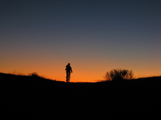
Sunrise rides are the Bomb!
I was never good at 24 hour racing. The laps being to monotonous, to much familiarity, spinning the wheel in the hamster cage.
Everyone can agree though, even those who minds can't take the stale numbness of turning laps over and over again. The Sunrise lap is the Bomb!
rider: me photo: Andy Chrysler
TITS/COMBA ride this evening on the Three Sisters....I'll be near the back of the group as I plan on saving it for the 50 miler this weekend. Did I mention 97% of this ride will be over 10,000 ft and prolly 90% singletrack?
A Skipping Goat
Got out at 5am this morning for a little Green Mountain before work. Threw down 20 miles with 2500 ft of climbing in two hours. Green Mtn is hopping with activity. All kinds of vegetation making the East side trails barely 5 inches wide and flowers blooming every where.
I found out a Goat in a Turtle shell skips like a flat smooth rock thrown across a pond. I was riding around the lower traverse of Green mountain hitting somewhere in the 15-20 mph range and saw something in my peripheral to my left. I glanced over my shoulder, saw nothing and as soon as my eyes fixed on the trail again a blue culvert jumped in my way along with a 4 ft wide ditch. I hopped it but caught my front tire and I must have bounced a good 50 yards before I finally slid to a stop. Another random rider was right behind me and saw it all…
“Dude, you ok?”
Me laughing, “Yeah, I’m good. Did you see that?”
Random Rider, “Scary, but it was awesome! Your Bike ok”
“It’s good.”
I stood there for a moment collecting myself and then finished my ride ending with the heavily overgrown but always fun Jeremy’s Gulch.
Splorin the Southwest side of Guanella Pass
Glad I finally got that out of my system. Once I get a route stuck in my mind, it nags me until I go do it. I had meant to add in Burning Bear and the Southern Section of South Park Trail #600 but I had to be home by 1pm and between route finding and hike a biking the 22 miles I rode took a little over 5 hours.
actual ride time was 4 hrs 8 minutes.
Stats:
22miles
accumulated Elevation: 4,450 ft
Start/finish Elevation (ft): 9,640
Min. Elevation (ft): 9,640
Max. Elevation (ft): 12,271
No headless ghost chased me this time but I did play in the clouds a bit on a trail that wasn't a trail but more a random piling of cairns in the sky. There were times when my visibility was cut down to about 10 meters and for most of the trek across the arctic tundra visibility was down to 50 meters. I knew the trail followed a basic southernly route so just watched the compass any time I was in doubt as the land features I was looking for by the topo were hidden in a murky soup.
Also got lost and turned around in some swamp bogs not even 100 yards from the road. I walked in circles twice trying to find the trail, finally backtracked, headed a little further west and made a scramble through thigh deep mud that tried to vacuum my shoes off before finally finding my path.
I've got some ideas of a route that will make this area even better. Less hike a bike but still some hike a bike because we know every legendary route needs some, more downhill rocky singletrack, more climbing of rocky old jeep beds and descending above treeline.
Looking toward Guanella Pass from the Burning Bear Trailhead..
One of the old Geneva Basin ski Trails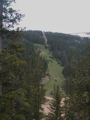
Duck Lake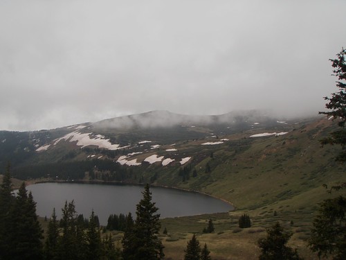
Guanella Pass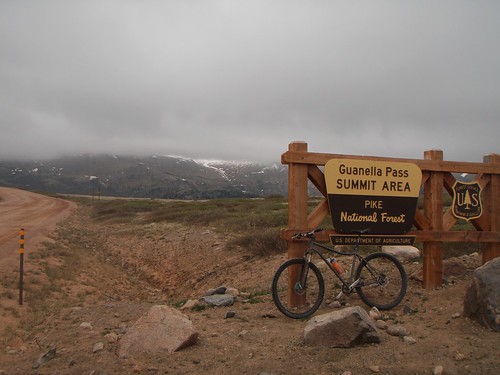
South Park Trail #600 looking back towards Guanella Pass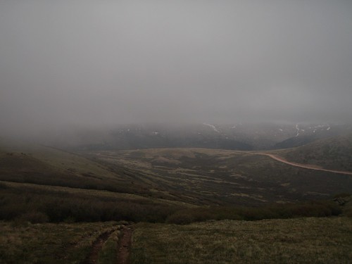
Flowers at 12,000 ft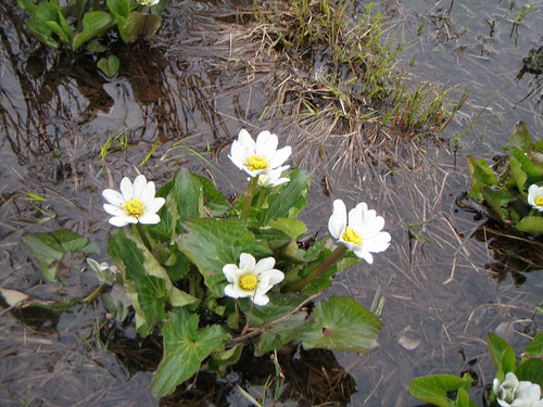
Lower Square Top Lake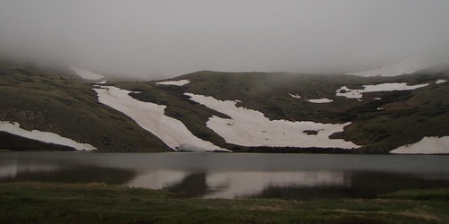
Snowline right at the trail 12,250 ft above sea level
From one Cairn to the next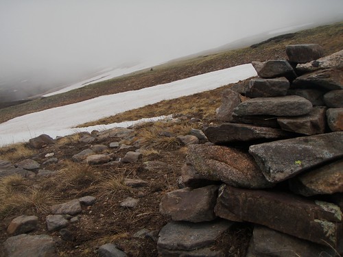
hiking across snow fields, this picture is looking back the way I came...I'm the first hiker or rider across this year.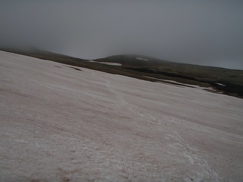
I'm sure the trail goes this way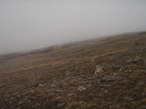
Mid morning snack just above treeline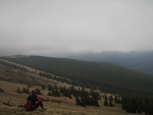
South Park Trail gettin alot of use
crossing Geneva Creek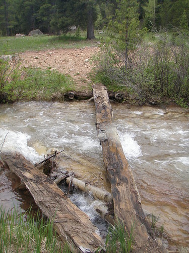
Kirby Gulch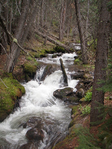
back to route finding
South Park Trail near Bruno Gulch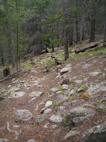
Bruno Gulch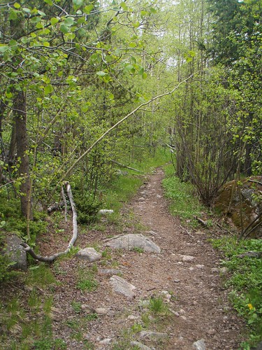
Came across some hikers on Bruno Gulch.
Fellow said are we gettin close to Square Top Lakes.
I asked, your kidding?
No, the lakes not close by.
Um, well they're about 9 miles north across some rough terrain that requires route finding. Let me show you on the map.
As I'm showing him the Lakes and the best route for him to get close to them, via car on the map...the hiker says, Man I need to get me one of those maps, I thought we were close.
I think I saved these two a long night in the woods.
Today is Father's Day and we are headed to Glenwood Springs to hike Hanging Lake and go see Doc Holiday's grave. Happy Father's day to all you fathers out there.
Subscribe to:
Posts (Atom)