Glad I finally got that out of my system. Once I get a route stuck in my mind, it nags me until I go do it. I had meant to add in Burning Bear and the Southern Section of South Park Trail #600 but I had to be home by 1pm and between route finding and hike a biking the 22 miles I rode took a little over 5 hours.
actual ride time was 4 hrs 8 minutes.
Stats:
22miles
accumulated Elevation: 4,450 ft
Start/finish Elevation (ft): 9,640
Min. Elevation (ft): 9,640
Max. Elevation (ft): 12,271
No headless ghost chased me this time but I did play in the clouds a bit on a trail that wasn't a trail but more a random piling of cairns in the sky. There were times when my visibility was cut down to about 10 meters and for most of the trek across the arctic tundra visibility was down to 50 meters. I knew the trail followed a basic southernly route so just watched the compass any time I was in doubt as the land features I was looking for by the topo were hidden in a murky soup.
Also got lost and turned around in some swamp bogs not even 100 yards from the road. I walked in circles twice trying to find the trail, finally backtracked, headed a little further west and made a scramble through thigh deep mud that tried to vacuum my shoes off before finally finding my path.
I've got some ideas of a route that will make this area even better. Less hike a bike but still some hike a bike because we know every legendary route needs some, more downhill rocky singletrack, more climbing of rocky old jeep beds and descending above treeline.
Looking toward Guanella Pass from the Burning Bear Trailhead..
One of the old Geneva Basin ski Trails
Duck Lake
Guanella Pass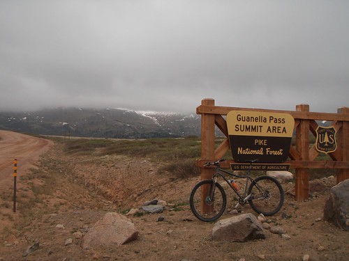
South Park Trail #600 looking back towards Guanella Pass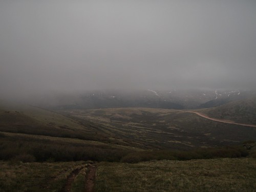
Flowers at 12,000 ft
Lower Square Top Lake
Snowline right at the trail 12,250 ft above sea level
From one Cairn to the next
hiking across snow fields, this picture is looking back the way I came...I'm the first hiker or rider across this year.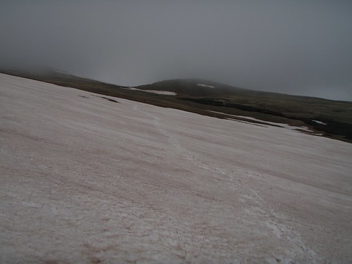
I'm sure the trail goes this way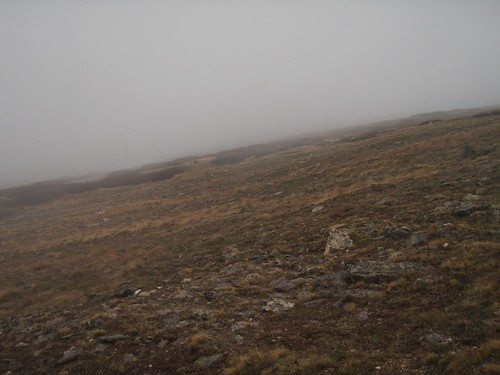
Mid morning snack just above treeline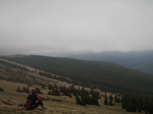
South Park Trail gettin alot of use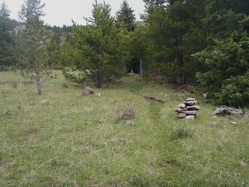
crossing Geneva Creek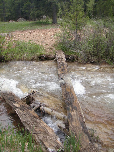
Kirby Gulch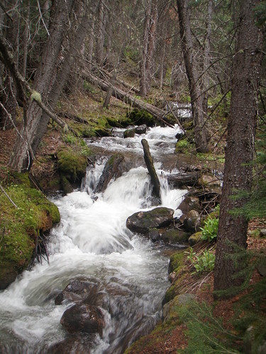
back to route finding
South Park Trail near Bruno Gulch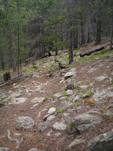
Bruno Gulch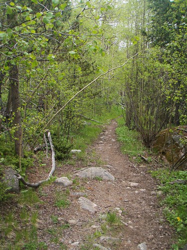
Came across some hikers on Bruno Gulch.
Fellow said are we gettin close to Square Top Lakes.
I asked, your kidding?
No, the lakes not close by.
Um, well they're about 9 miles north across some rough terrain that requires route finding. Let me show you on the map.
As I'm showing him the Lakes and the best route for him to get close to them, via car on the map...the hiker says, Man I need to get me one of those maps, I thought we were close.
I think I saved these two a long night in the woods.
Today is Father's Day and we are headed to Glenwood Springs to hike Hanging Lake and go see Doc Holiday's grave. Happy Father's day to all you fathers out there.
Splorin the Southwest side of Guanella Pass
Posted by The Evil MGE! Sunday, June 21, 2009 at 6:16 AM
Subscribe to:
Post Comments (Atom)


0 comments:
Post a Comment